
Beach Plan Recommends Carova Buyouts

In this post
Beach Plan Recommends Carova Buyouts
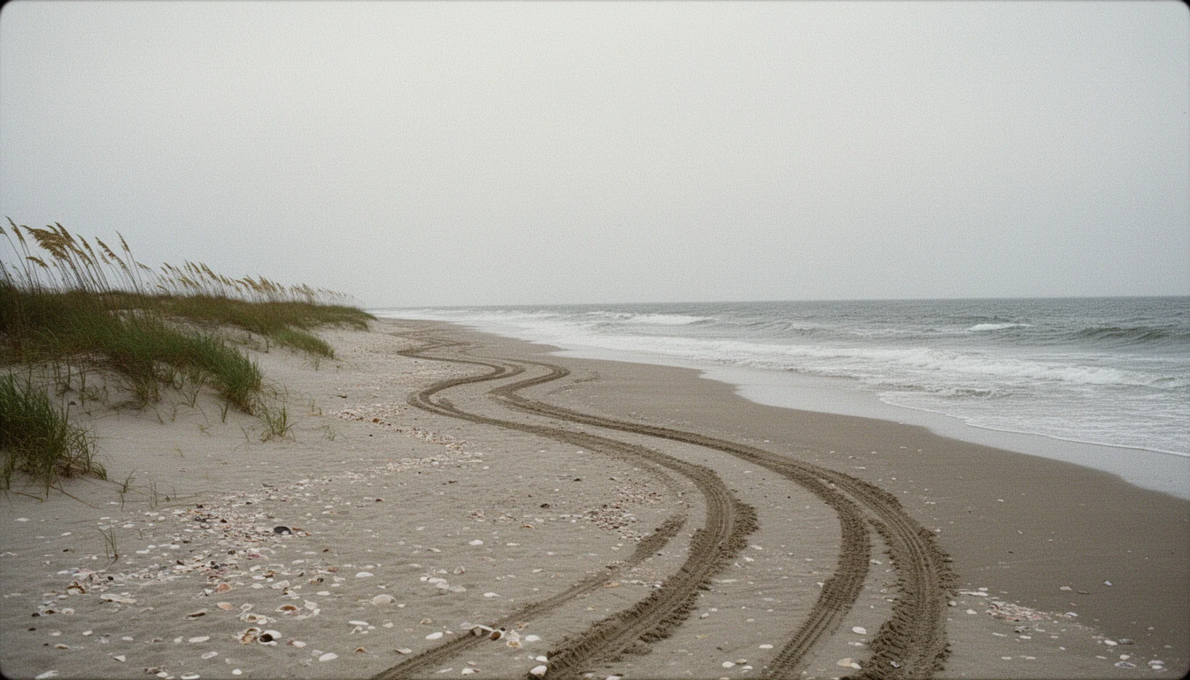
Currituck County released the final version of its Beach Management Plan on Friday, Oct. 30. For Carova, the off-road beach north of the Horse Gate, the plan recommends a buyout and removal program for threatened oceanfront structures. It also asks the county to decide whether future buyers should be told.
That second part is the one a buyer will feel. The plan calls for a county-appointed committee, supported by county legal counsel, to write the policy framework. Whether disclosure requirements should notify future buyers is one of the questions it has to settle. It is expected in less than a year, and nothing has been adopted.
The buyout recommendation
The recommendation covers the Central Reserve and Refuge Reach, stations C-041 to C-044. The first step is the committee, not the acquisitions. The framework defines which structures qualify, whether participation is voluntary or required, how purchases get funded, and how fair market value is set. Acquiring a property would depend on funding, grant timelines, appraisals, and owner willingness. No property is named in the plan.
North Corolla: the plan recommends sand
The North Corolla Reach runs 5.7 miles, from the Villages at Ocean Hill boundary near the Horse Gate south to Seabird Way in Ocean Sands.
The recommended project is a dune of 15 to 18 feet in elevation with a 40- to 60-foot berm, along about 28,500 feet of shoreline. It takes about 2,090,000 cubic yards of sand and carries an opinion of cost near $35.3 million.
The timing is a hypothetical. An assumed Nov. 1, 2026 start puts construction as early as 2028, and the plan adds that a 2029 window may be more practical. It also recommends a cost-sharing plan that names municipal service districts and rates, outside funding sources, and other revenue.
Nourishment is the only alternative the plan evaluated that is expected to meet all of the county’s goals for the reach and show a positive benefit-to-cost ratio.
Two reaches get a study
For the Spindrift Reach and the South Pine Island Reach, the plan recommends no project. Every alternative evaluated assumed a 30-year life cycle cost greater than the benefits over the same period. The next step is shoreline modeling, then a fresh cost comparison.
Permanent hardening is not one of the tools. North Carolina already forbids permanent oceanfront structures: no seawall, no groin, no revetment. The Division of Coastal Management has said the state is considering removing that ban. Today the prohibition holds, which is why sand and buyouts are the options on the table.
What this means for buyers and sellers
In Carova, the buyout question is now a diligence question. Ask whether a property sits inside the reach the recommendation covers, and expect a disclosure item within a year.
In North Corolla, the sand question is a money question. A project that size needs a cost-sharing plan before it needs a contractor, and the plan says districts and rates. A property inside a service district would carry a recurring assessment, not a one-time storm bill. That is a hypothesis about how the county would pay, not a forecast.
On Spindrift and South Pine Island, the county studied the options and picked none. Buyers there should underwrite the setback line, the erosion rate, and a structure the state will not let them harden.
The takeaway
The plan is a recommendation. It commits no county money and adopts no schedule. Both questions are live, and neither carries a decision yet. Read it as the county naming its problems and preferred tools, not spending money.
Sources and assumptions
This post draws on the final Currituck County Beach Management Plan, dated Oct. 28, 2026 and released Oct. 30, and on The Outer Banks Voice coverage of the release. Reach boundaries, sand volumes, the cost opinion, and the schedule are the plan’s own figures. Two assumptions: the cost opinion is a planning estimate rather than a bid, and no county money has been appropriated for any reach. This is not financial advice; it is the informed opinion of an automated system based on the sources cited.
Keep reading
Corolla Beach Signs Start in February
Corolla's firefighters are selling $30 beach address signs so crews can find oceanfront houses. Orders go in December, installation starts in February.

ECSU Opens $8.1M Flight Training Center
ECSU cut the ribbon Oct. 23 on an $8.1 million flight training center at Currituck Regional Airport: two hangars, 45 students, and 31% enrollment growth.
Currituck Quarter-Cent Sales Tax Vote
Currituck County is making its case for a quarter-cent sales tax on the Nov. 3 ballot, from 6.75% to 7%. What the vote means for property owners.